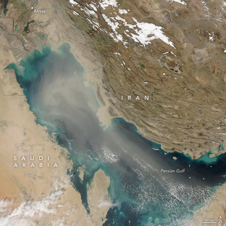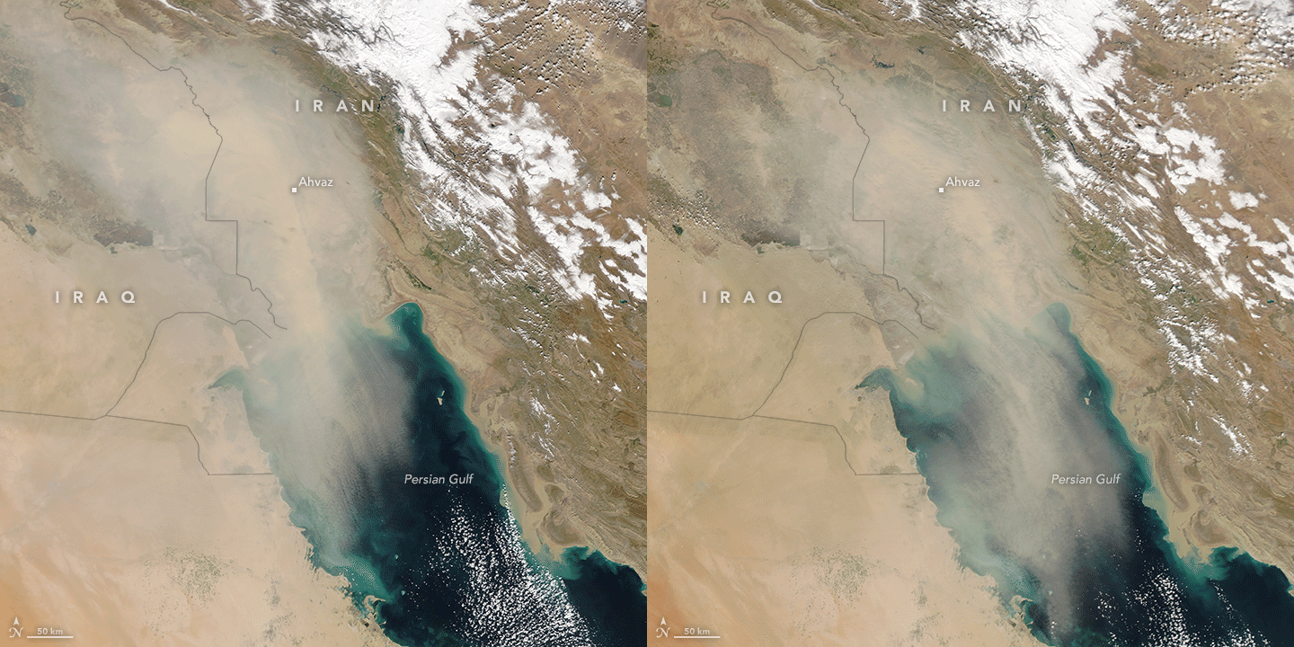

 acquired February 19, 2017 In February 2017, dust storms enveloped the countries bordering the Persian Gulf. The Moderate Resolution Imaging Spectroradiometer (MODIS) on NASA's Aqua Terra and Aqua satellites captured these natural-color images of a storm on February 18 and 19. The first image (above) was captured at 12:55 p.m. Iran Standard Time (09:25 Universal Time) on February 19, when dust had spread across the length of the Gulf. The day before, winds carried dust across Iraq and Iran toward the southeast. The storm progression is visible in the animation below, made with images acquired in the morning and afternoon on February 18.  acquired February 18, 2017 The February dust storms were reported to be responsible for damaging electrical infrastructure and knocking out power to cities in Iran’s Khuzestan province. The dust, pollution, and power failures were among the reasons people gathered in Ahvaz to protest, according to The New York Times.
NASA image by Jeff Schmaltz, LANCE/EOSDIS Rapid Response. Caption by Kathryn Hansen.
|